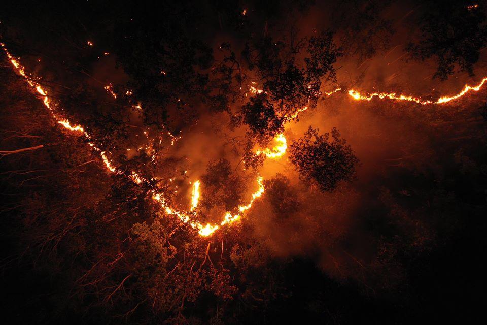
Winter has come to the Lower Mekong region, where the cooler weather marks the start of the fire season that usually starts in January until April each year.
In addition to causing widespread damage to forests and agricultural areas, the fires also cause haze which harms both human health and the environment, both locally and at a transboundary level.
In Thailand, haze has been known to be a major environmental problem for decades.
Successive administrations have tried to bring it under control, and most recently, the government claimed in an After-Action-Review (AAR) Meeting on Fire and Haze Prevention & Mitigation that this year, it managed to reduce fires by half compared to last year -- before promising to do 20% better next year.
After a closer look at the weather as a compounding factor, we argue that the claimed success is actually potentially misleading.
While human activities are the main cause of fires in the North, weather does play a crucial role. Fires tend to happen when the conditions are dry and warm, and since the majority of forests in the region are deciduous, the leaf litter the trees produce can act like kindling.
However, they also easily soak up moisture, for instance, after rain.
This should be accounted for in order to properly assess the effectiveness of fire control efforts, which is in turn crucial for setting a realistic target and allocating resources properly to meet said target.
Based on our analysis of weather data, early 2021 was much wetter than normal, which consequently meant there weren't as many fires at the start of the year.
When we look at satellite data of fire hotspots in the North this year, there was actually a 25% increase in the number of hotspots compared to 2018. We believe this offers a more robust and appropriate basis for comparison.
The government would have also arrived at the wrong conclusion if it were to look at the number of fires in 2020, which was much drier than usual.
Another related issue is the nature of fire hotspot satellites, which have been operated since 2006 by the Department of National Park, Wildlife and Plants Conservation.
Though useful, these satellites have several limitations -- they can't, for instance, give an accurate picture of fires in cloud-covered areas. Unclear satellite photos might also lead to false prediction.
Thailand has no operational tools yet to monitor and report burn scars in a timely manner, and therefore the country need good monitoring tools in order to provide it with the correct information.
Reliable data can ensure better fire prevention.
As our concluding remark, we point out two simple but practical weather-linked issues and suggested to regional and local agencies that there is an urgent need for a certain re-benchmarking for benefit the assessment of fire control efforts.
First, the government must compare fire counts in two different years with similar weather conditions, with an emphasis on precipitation.
Second, complement both the assessment and fire monitoring with appropriate satellite monitoring technology.
Assoc Prof Dr Kasemsan Manomaiphiboon is teaching numerical modelling and data analysis at the Joint Graduate School of Energy and Environment at King Mongkut's University of Technology Thonburi, Veerachai Tanpipat is head of Upper ASEAN Wildland Fire Special Research Unit at the Faculty of Forestry, Kasetsart University.