FutureTales LAB by MQDC, a futurology research centre, is collaborating with ESRI (Thailand), a leader in location intelligence and geo-informatics with ArcGIS software, to set up the “Urban Hazard Studio” data hub to study Greater Bangkok’s flood risks.
“Urban Hazard Studio” will explore impacts for Bangkok and its surroundings from a “100-year flood” perspective. Flooding is Thailand’s leading risk. The country’s 2011 floods caused damage totalling 1.4 trillion baht. “Urban Hazard Studio” is a key initiative for cooperation by all sectors to prevent and mitigate flood damage, with long-term benefits for the public, society, and the national economy.
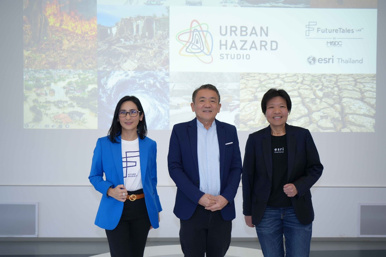
A talk on “Learning the Model of ‘Urban Hazard Studio’” was given by Dr. Karndee Leopairote, Executive Vice President of FutureTales LAB by MQDC; Associate Professor Dr. Seree Supraatid, Foresight Research Advisor on Climate Change & Disaster at FutureTales LAB; and Ms. Thanaporn Thitisawat, President of ESRI.

Dr. Karndee Leopairote of FutureTales LAB said that flooding cost the global economy over $100 billion in 2022 and could cost $5.6 trillion over the next 30 years to 2052. The World Economic Forum’s Global Risks Report forecasts three top-ranked future risks: 1. Climate action failure, 2. Extreme weather, and 3. Biodiversity loss. In Thailand, 34% of the population is at risk from natural disasters. The Center for Economic and Business Forecasting of the University of the Thai Chamber of Commerce last year calculated total economic and business damage at 12-20 billion baht.
FutureTales LAB, a futurology research centre by MQDC focused on “For All Well–Being”, has examined the impacts of these risks. Extreme weather brings heavy rain and heat waves. Without adequate preparation, these will bring massive impacts and losses, particularly for the economy, affecting crops, product quality, exports, and livelihoods, including through the costs of rebuilding after a disaster.
The collaboration to develop “Urban Hazard Studio”, the ultimate data hub, unites ESRI’s GIS technology for spatial analysis with FutureTales LAB’s expertise in climate change and disasters. The hub will analyse, evaluate, and share information to alert people and society so all sectors prepare for and avert future threats. The cooperation can also benefit society by studying the danger for Bangkok and its surroundings from a 100-year flood perspective, considered a top risk for Thailand.

Associate Professor Dr. Seree Supraatid, Foresight Research Advisor on Climate Change & Disaster at FutureTales LAB, said that data from the Central Region and Greater Bangkok revealed three types of flood risk: 1. Urban flooding when heavy rain overwhelms the drainage system; 2. River flooding when heavy rain causes waterways to overflow, such as in 2011, 2021, and 2022; 3. Coastal flooding of cities and communities caused by steadily rising sea levels.
All three categories of flooding show rising frequency and severity, accelerated by climate change and changes in land use. Potential rainfall in any one day in Bangkok is forecast to increase by 20-30%. With a “100-year flood”, precipitation will climb from the current 200 mm/day to 250 mm/day. Heavy rain may grow by 60-80%, raising the risk of urban flooding. Rainfall over the 6 months from May to October may rise by 20-30%, increasing the risk of a major flood in the Chao Phraya Basin. A “100-year flood” today will become the “10-year flood” of the future, so that the events of 2011 could repeat each decade.
For coastal flooding, an IPCC working group expects sea levels at Phra Chulachomklao Fort in the Chao Phraya estuary to rise 0.39 m by 2030, 0.73 m by 2050, and 1.68 m by 2100. Without mitigating measures, this rise will put areas of Greater Bangkok underwater permanently. Water supplies will become brackish from the encroachment of salt water, also impacting durian and orchid farms in Nonthaburi and Nakhon Pathom.
Joint assessment of Thailand’s other threats is also planned, helping communities prepare for droughts, tsunamis, storms.
Ms. Thanaporn Thitisawat, President of ESRI (Thailand), said that “Urban Hazard Studio”, through GIS, can contribute significantly to dealing with flood risks, as well as other aspects of climate change. The studio’s capabilities enable measurement, analysis, and insight into the global climate, helping drive climate crisis solutions in three main areas: mapping potential impact to analyse risk areas and find solutions; communicating with graphics to give a clearer view, which can be combined with other technologies to boost local analysis; tracking situations in real conditions and real time to better cope with the current situation and prepare for future challenges.
The location of future incidents can be forecast, including impacts on biological systems, such as for humans, wildlife, and flora. Damage, including economic damage, as well as local risk, can be assessed using GIS. Channels of communication are critical for populations at risk to see the situation and potential impacts, helping them take decisions about preventive action. GIS technology meets the needs of presentation and can be displayed on an application to share with the relevant people for monitoring and use.
GIS is widely used to help address climate change. In the Philippines, for example, data showing an average urban heat increase of 2°C has raised concerns. The solution is to increase green areas. GIS technology can analyse and identify where and how green spaces must be added and how much they can reduce urban heat.
GIS technology is more than just mapping. It is a tool for addressing the challenges of climate change with experts from every sector.
ESRI and FutureTales LAB have a joint commitment to develop “Urban Hazard Studio” as an outstanding environmental data hub, bringing together data about natural disasters, soon to include tsunamis and PM2.5.
You can consult “Urban Hazard Studio”, the ultimate environmental data hub, at http://www.urbanhazardstudio.com